Travel Guide of Knutsford in United Kingdom by Influencers and Travelers
Knutsford is a market town in the borough of Cheshire East, in Cheshire, England. Knutsford is 14 miles south-west of Manchester, 9 miles north-west of Macclesfield and 12.5 miles south-east of Warrington. The population at the 2011 Census was 13,191.
The Best Things to Do and Visit in Knutsford
TRAVELERS TOP 10 :
- Didsbury
- Urmston
- Sightseeing | Manchester
- The Lowry
- Old Trafford
- Whitworth Park
- Manchester Central Library
- Canal Street
- Manchester Arndale
- Manchester
1 - Didsbury
15 km away
Didsbury railway station is a former station in Didsbury, in the southern suburbs of Manchester, England, United Kingdom. The station was located on Wilmslow Road, just north of the junction with Barlow Moor Road and opposite Didsbury Library.
Learn more
2 - Urmston
16 km away
Urmston is a town in Trafford, Greater Manchester, England, which had a population of 41,825 at the 2011 Census. Historically in Lancashire, it is 5 miles southwest of Manchester city centre.
Learn more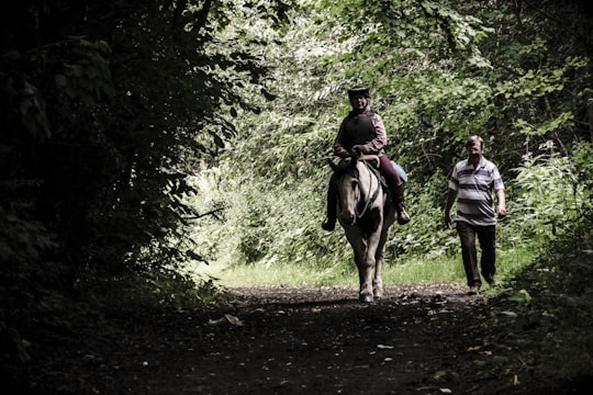
3 - Sightseeing | Manchester
22 km away
Discover Manchester in the palm of your hand. The guide for an unforgettable experience : restaurants, activities, secret spots, must-sees, and tips. Don't miss out on anything !
Book this experience
4 - The Lowry
19 km away
The Lowry is a theatre and gallery complex at Salford Quays, Salford, Greater Manchester, England. It is named after the early 20th-century painter L. S. Lowry, known for his paintings of industrial scenes in North West England. The complex opened on 28 April 2000 and was officially opened on 12 October 2000 by Queen Elizabeth II.
View on Google Maps Book this experience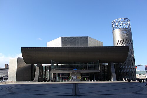
5 - Old Trafford
19 km away
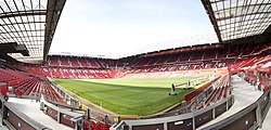
Old Trafford is a football stadium in Old Trafford, Greater Manchester, England, and the home of Manchester United. With a capacity of 74,310 it is the largest club football stadium in the United Kingdom, and the eleventh-largest in Europe.
Learn more Book this experience
6 - Whitworth Park
20 km away
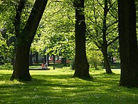
Whitworth Park is a public park in south Manchester, England, and the location of the Whitworth Art Gallery. To the north are the University of Manchester's student residences known as "Toblerones".
Learn more Book this experience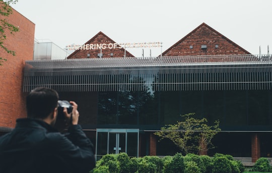
7 - Manchester Central Library
21 km away
Manchester Central Library is the headquarters of the city's library and information service in Manchester, England. Facing St Peter's Square, it was designed by E. Vincent Harris and constructed between 1930 and 1934.
View on Google Maps Book this experience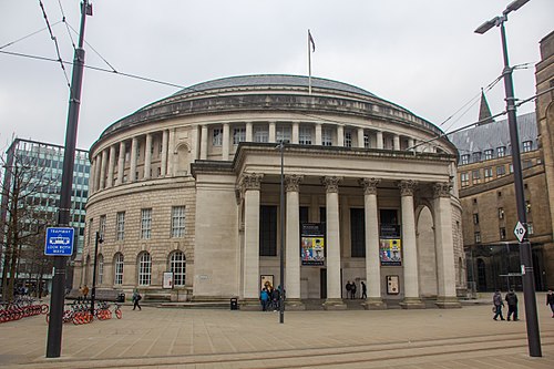
8 - Canal Street
22 km away
Canal Street is a street in Manchester city centre in North West England and the centre of Manchester's gay village. The pedestrianised street, which runs along the west side of the Rochdale Canal, is lined with gay bars and restaurants.
View on Google Maps Book this experience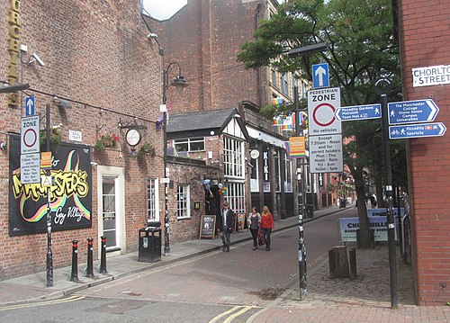
9 - Manchester Arndale
22 km away
Manchester Arndale is a large shopping centre in Manchester, England. It was constructed in phases between 1972 and 1979, at a cost of £100 million.
Learn more Book this experience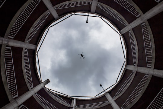
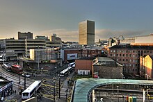
10 - Manchester
22 km away
Manchester is a city and metropolitan borough in Greater Manchester, England, with a population of 547,627 as of 2018. It lies within the United Kingdom's second-most populous urban area, with a population of 2.5 million and third most populous metropolitan area, with a population of 3.3 million.
Learn more

11 - Stockport
22 km away
Stockport is a town and borough in Greater Manchester, England, 7 miles south-east of Manchester, 9 miles south-west of Ashton-under-Lyne and 12 miles north of Macclesfield. The River Goyt and Tame merge to create the River Mersey here.
Learn more
Disover the best Instagram Spots around Knutsford here
Book Tours and Activities in Knutsford
Discover the best tours and activities around Knutsford, United Kingdom and book your travel experience today with our booking partners
Pictures and Stories of Knutsford from Influencers
Picture from Jonathan Farber who have traveled to Knutsford

- Two people in an old Rolls Royce ...click to read more
- Experienced by @Jonathan Farber | ©Unsplash
Plan your trip in Knutsford with AI 🤖 🗺
Roadtrips.ai is a AI powered trip planner that you can use to generate a customized trip itinerary for any destination in United Kingdom in just one clickJust write your activities preferences, budget and number of days travelling and our artificial intelligence will do the rest for you
👉 Use the AI Trip Planner
Why should you visit Knutsford ?
Travel to Knutsford if you like:
Where to Stay in Knutsford
Discover the best hotels around Knutsford, United Kingdom and book your stay today with our booking partner booking.com
More Travel spots to explore around Knutsford
Click on the pictures to learn more about the places and to get directions
Discover more travel spots to explore around Knutsford
Panorama spotsTravel map of Knutsford
Explore popular touristic places around Knutsford